Gain precise insights, improve efficiency, and make smarter decisions with our professional mapping services usings technologies of Artificial Intelligence, Machine Learning, Drones, Lidar, 3D scanning, GPR and SLAM Lidar Technologies.

home page drone

Who we are?

We are team of young enthusiasts working in GEOSPATIAL Domain delivering solutions using cutting-edge Hybrid-LiDAR technology, high-resolution Drone-photography and Photogrammetry, 360 Degree Mapping ,AR-VR, and aerial videography to provide fast, accurate, and reliable project data.

All data is delivered in industry-standard formats and securely accessible via cloud platforms, with powerful tools for measuring distances, heights, areas, and terrain analysis.

What we do?

  • 3D Scanning using Terrestrial and SLAM Lidar
  • Photogrammetric Surveys using Satellite and Drones
  • Topographical Surveys
  • Hydrographical Surveys
  • GIS Mapping
  • SRT and ERT Surveys
drone work

Drone LiDAR Mapping for Ultimate Topographical Accuracy

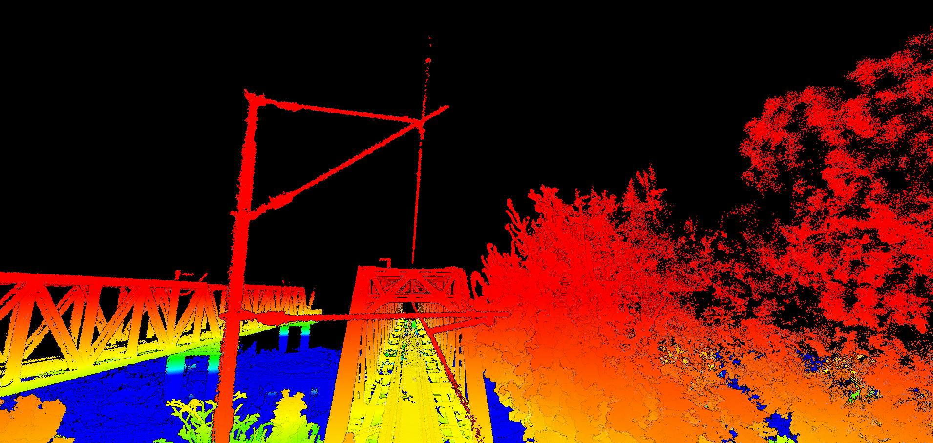
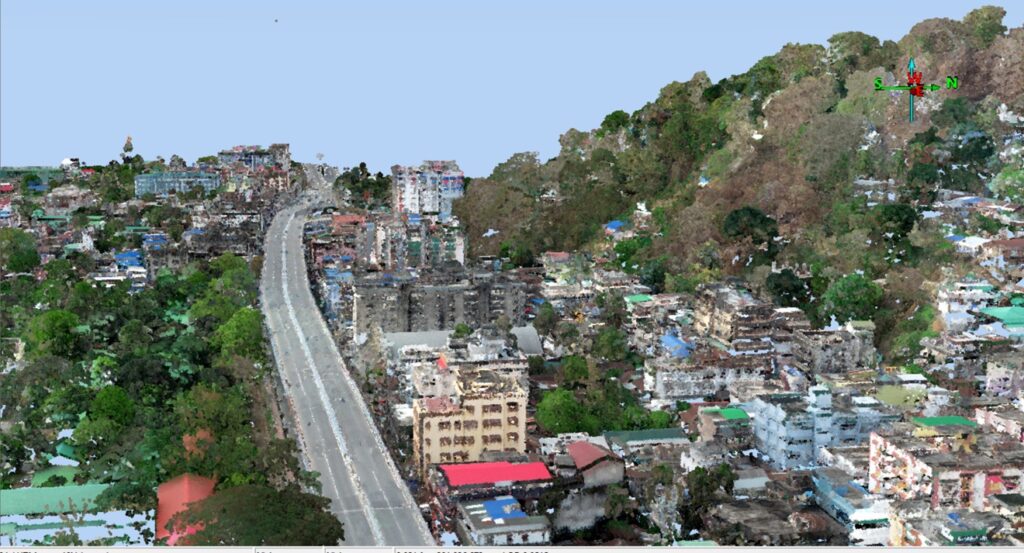
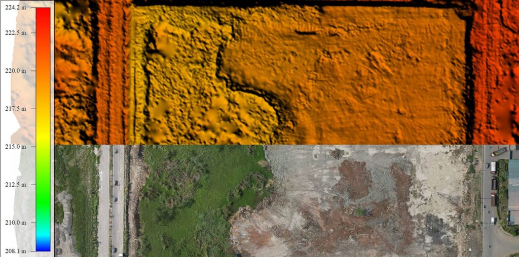
Drone LiDAR mapping delivers the ultimate topographical survey solution. With over 1500+ measurement points per square metre and the ability to penetrate vegetation, it generates highly detailed point clouds with exceptional accuracy.

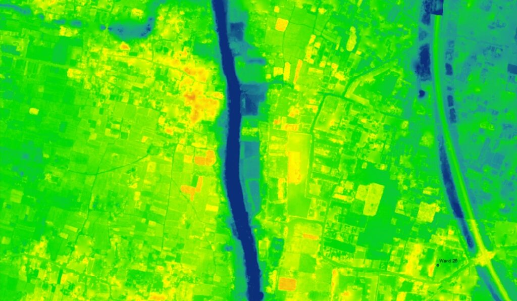
This data forms the foundation for precise DEM models, DXF contour files, and both large- and small-scale volume calculations. Clients also benefit from complimentary cloud access, allowing them to measure heights, distances, and areas quickly and easily in just a few clicks.

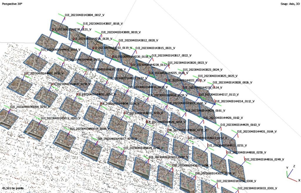
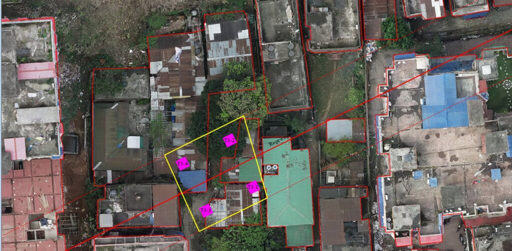
All of the following data can be captured in a single drone flight:

SLAM Lidar

3D Scanning using Terrestrial and SLAM Lidar

Photogrammetric Surveys using Satellite and Drones

Topographical Surveys

Hydrographical Surveys

Terrestrial Scanning

GIS Mapping

SRT and ERT Surveys

Terrestrial Scanning

OUR CLIENTS

INDUSTRIES SERVED

URBAN DEVELOPMENT | TELECOM | ELECTRIC | GAS | WATER SUPPLY AND SANITIZATION | DISASTER MANAGMENT | INFRASTRUCTURE | NAVIGATION