Photogrammetric Surveys using Satellite and Drones

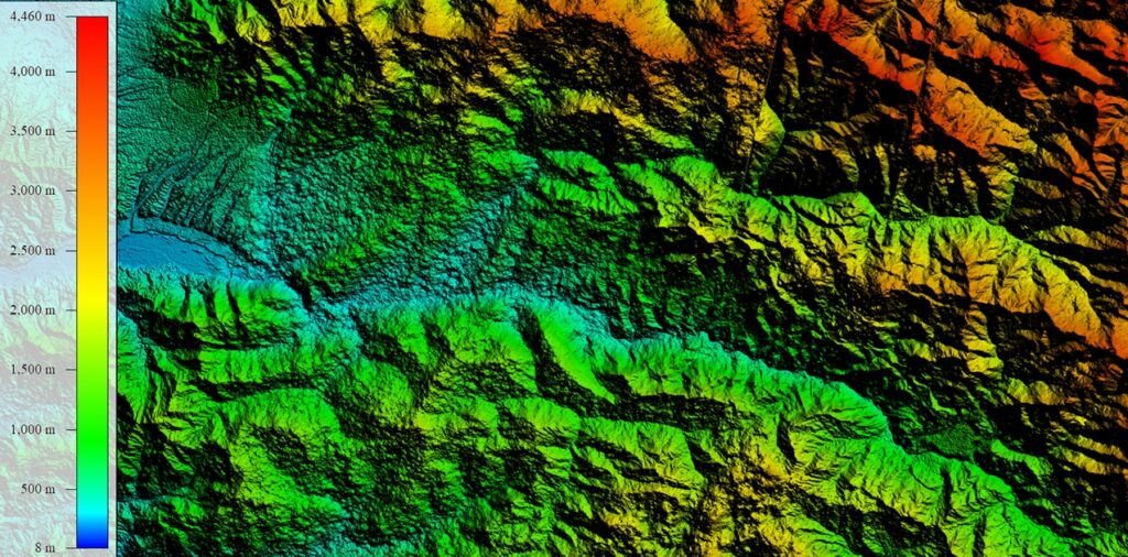
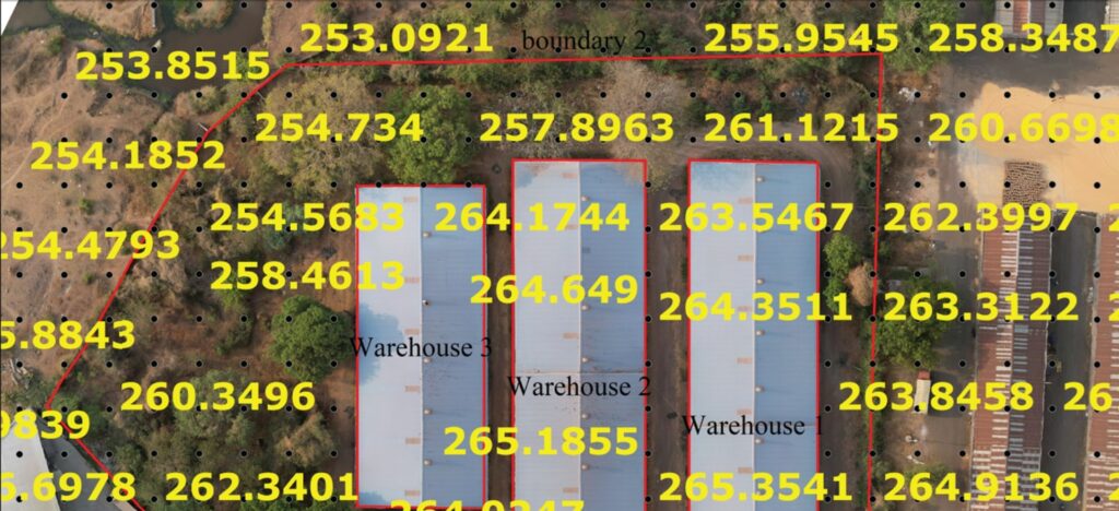
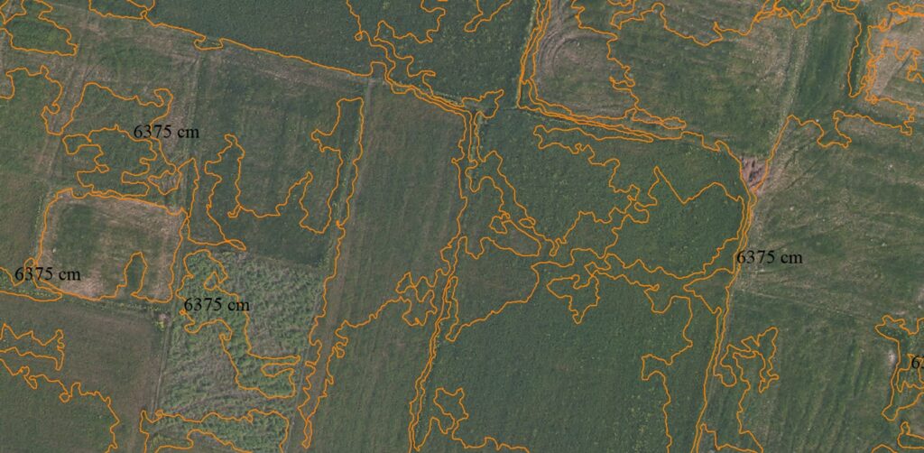
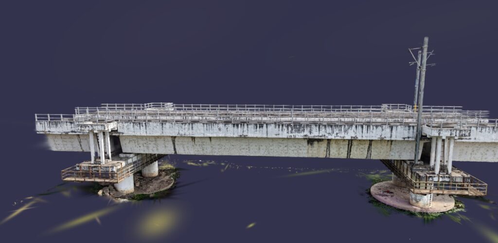
High-Precision Mapping from Aerial & Satellite Imagery

We provide advanced Photogrammetric Survey services using satellite imagery and drone technology to create accurate maps, 3D models, and geospatial data. By combining high-resolution imagery with powerful GIS tools like QGIS and ArcGIS, we deliver reliable insights for planning, analysis, and decision-making.

Satellite-Based Mapping

  • Large-area mapping and monitoring
  • Land-use and land-cover analysis
  • Change detection over time
  • Remote and inaccessible area surveys

Drone (UAV) Photogrammetry

  • High-resolution aerial surveys
  • Orthomosaic map generation
  • 3D terrain and surface models (DSM/DTM)
  • Construction site monitoring

Topographic Surveys

  • Contour mapping
  • Elevation modeling
  • Land development planning

3D Modeling & Visualization

  • Detailed 3D surface models
  • Digital elevation models (DEM)
  • Infrastructure and terrain visualization

Want to know the cost of an aerial survey for your site? Get an instant price using our online quotation system — it only takes a few minutes.