Skip to content
Home
About
Services
Topographical Surveys
3D Scanning using Terrestrial and SLAM Lidar
Hydrographical Surveys
GIS Mapping
SRT and ERT Surveys
Photogrammetric Surveys using Satellite and Drones
Sectors
Contact
CALL NOW
Home
About
Services
Topographical Surveys
3D Scanning using Terrestrial and SLAM Lidar
Hydrographical Surveys
GIS Mapping
SRT and ERT Surveys
Photogrammetric Surveys using Satellite and Drones
Sectors
Contact
CALL NOW
Sectors
ROADS
Lidar and Photogrammetric Surveys for DPR Preparations and Feasibility studies
Construction Site Monitoring using Drones.
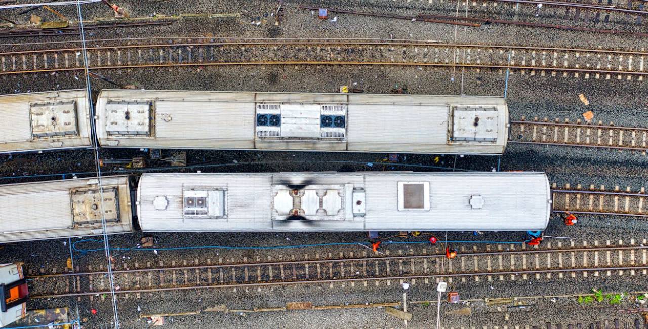
RAILWAYS
Lidar and Photogrammetric Surveys for DPR Preparations and Feasibility studies
Gradient Surveys using Lidar
Bridge inspections as per RDSO Guidelines
Revit modelling upto LOD 500
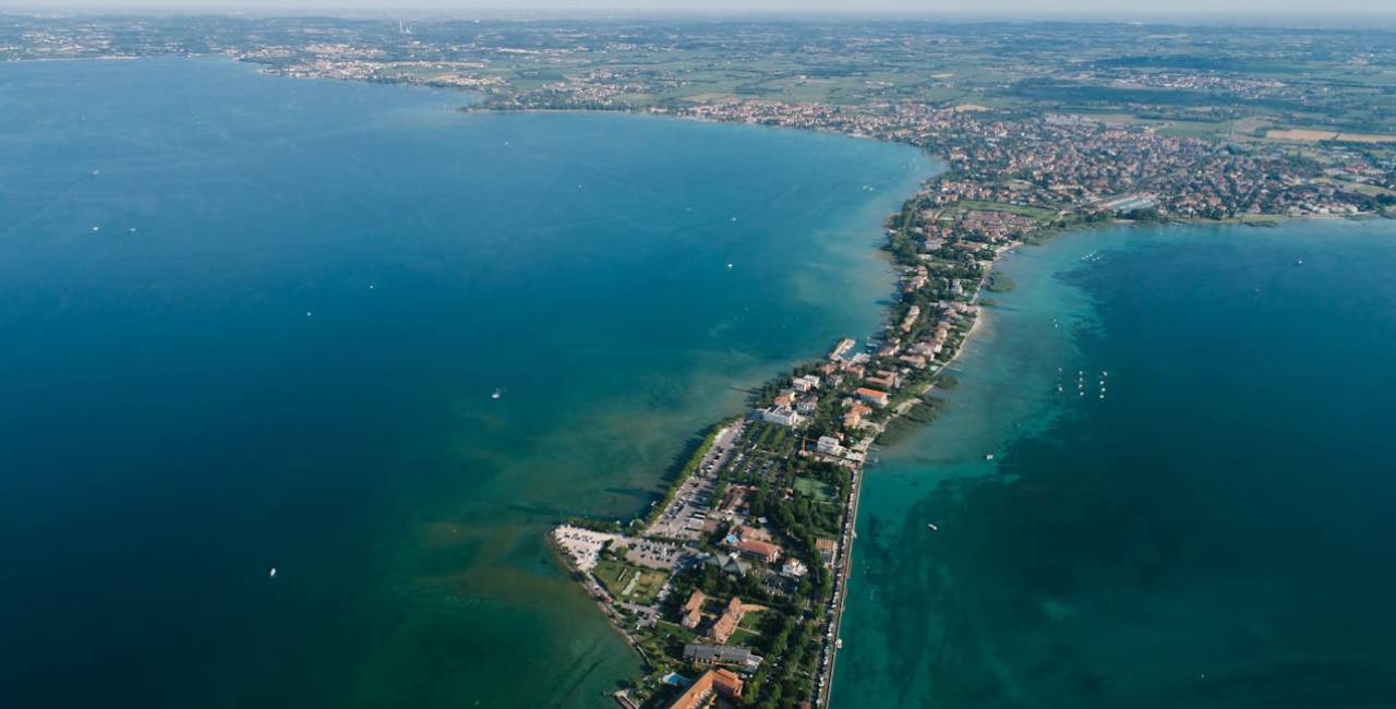
WATER
Topographical Surveys from Drones and Satellites using Active and Passive Remote Sensing Technologies(Lidar and Photogrammetry)
X-sections and L-Sections
River Bed Mapping
Shore Line Mapping.
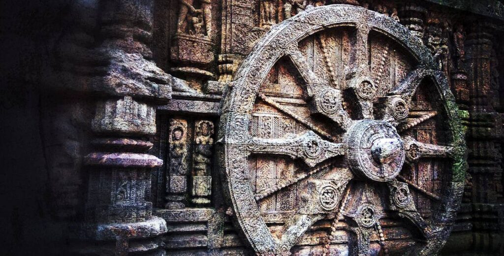
Archaeology and Heritage
Detailed map making of Monuments as per Heritage By Laws using Drones and Lidar
3D Model of Monuments
360 deg View of Monument with Walkthrough
AR VR mapping
BIM Modelling
Condition Assessment of Monuments
Excavation Mapping using Drones and GPR
Energy ,Oil and Gas
Detailed Mapping using Drones
Routeline Mapping
Aerial Videography
Inspections and Monitoring
Utility Detections using GPR
Power
Transmission Line Surveys using Lines.
Power Line Inspections
Thermal Mapping
AI Based Mapping of defects in Solar Panels
Site Demarcation and Area Drainage mapping
URBAN
Survey and Mapping of Municipal Corporations and Municipal Councils
Digital Twin of Smart Cities
Volumetric Survey of Legacy Dumpsites using Drones.
Property surveys
Cadastral surveys
Web Application Development
Forestry and Agriculture
Aerial topographic Surveys
Lidar Mapping for Forest Biomass calculation
NDVI Mapping
Landuse Mapping using applications of Remote sensing using Supervised and Unsupervised Calculations .
Crop area Measurement and Mapping
Plant Height and Count Detection using Lidar Technologies.
Want to know the cost of an aerial survey for your site? Get an instant price using our online quotation system — it only takes a few minutes.
CONTACT US